
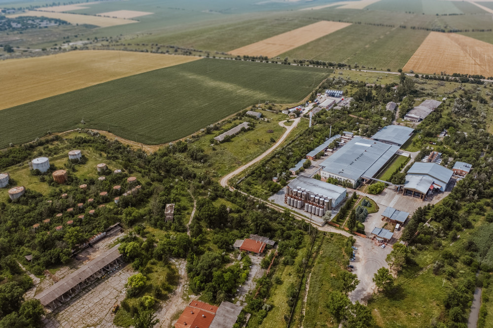
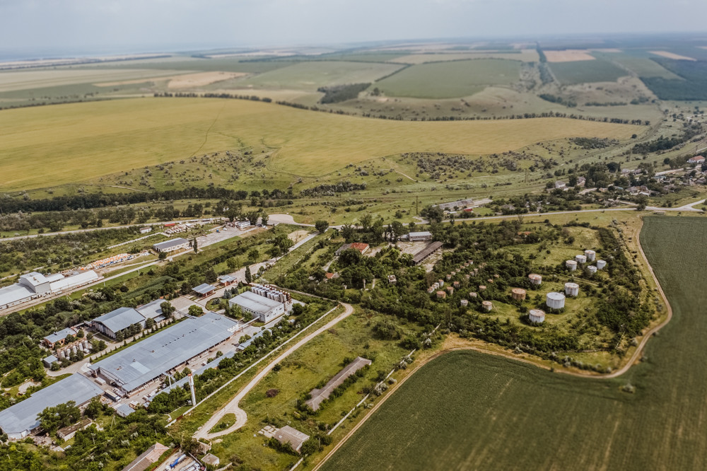
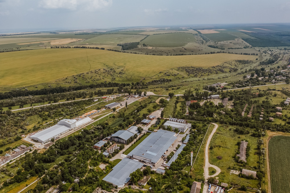
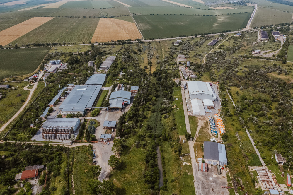
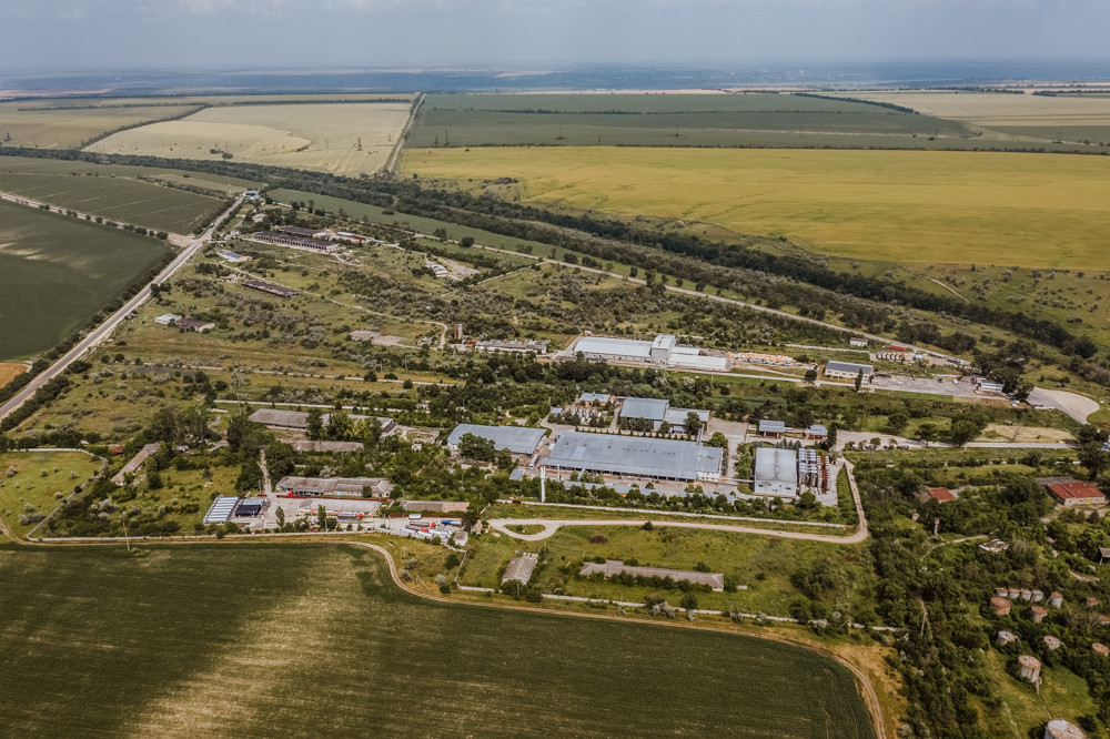
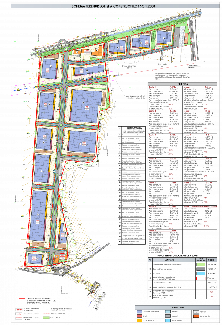
FEZ “Valkaneș” is located in the proximity of 7 km to the East from the City center of Vulcănești. The FEZ has immediate connection to European road E584 connecting the cities of Poltava (UKR) and Galati (ROU). The subzone is delimited to the East along the railway route connecting Vulcănești with Chișniău and Black Sea port on Danube River. Out of the total area of the two subzones in Vulcănești (107 hectares), circa 20 hectares represents free buildable area on greenfield.
IMAGE GALLERY


CONTACTS
- 6, Korolenko str, Vulcanești, ATU Gagauzia, MD-5301
- +373 293 78270
- office@fezvalkanes.md
- www.fezvalkanes.md
- 42B Pușkin str., Chișinău, Republic of Moldova, MD 2012
- +373 22 27-36-54, +373 22 22-43-10
- office@invest.gov.md
- www.invest.gov.md
- Youtube
OFFER DETAILS
LOCALIZATION
| Site name | Vulcanesti Zone |
| Town/Commune | Vulcanesti |
| Address (street, house number) | 6, Korolenko str, Vulcanești, ATU Gagauzia, MD-5301 |
| District | Vulcanesti |
| Free Economic Zones | Free Economic Zone "Valkaneș" |
| Website or link to Maps | www.fezvalkanes.md |
BASIC DATA OF PRODUCTION HALL
EXISTING INFRASTRUCTURE
| Electricity | |
|---|---|
| Water | |
| Gas | |
| Sewerage Discharge | |
| Access road for trucks | |
| Railway line |
TRANSPORT LINKS
| Chișinău Capital City | 183 km |
| Nearest border checkpoint with Romania (EU) | 39 km |
| Nearest border checkpoint with Ukraine | 1.5 km |
| International airport | 195 km |
| Danube River & Black Sea port | 40 km |
TERMS OF ACQUISITION
| Ownership | |
|---|---|
|
Public |
|
| Lease | |
|
FEZ land plot - 0.5 EUR Land (general regime) - 0.75 EUR |
|
INFORMATION
FEZ “Valkaneș” was established in 1998 for a period of 37 years. It administrates 4 subzones with
a total area of circa 200 hectares, namely in Vulcănești City (2 subzones – 107 hectares); Comrat
Municipality (50.3 ha) and Ceadîr-Lunga Municipality (42 ha).